

Investigate and monitor geohazards over wide areas, assess the temporal evolution of a single, at risk, location
Wide area monitoring
From historical analyses to near-real time monitoring programs at regional and national scales.
Timely displacement information over large areas is routinely provided to end users and decision makers using Sentinel-1 images coupled with SqueeSAR®. We also process different satellite imagery archives to reconstruct the temporal evolution of ground instabilities and delineate their boundaries.
- Identify areas at risk
- Update existing inventories of ground instabilities
- Monitor geohazards (landslides, volcanoes, subsiding areas, seismic faults)

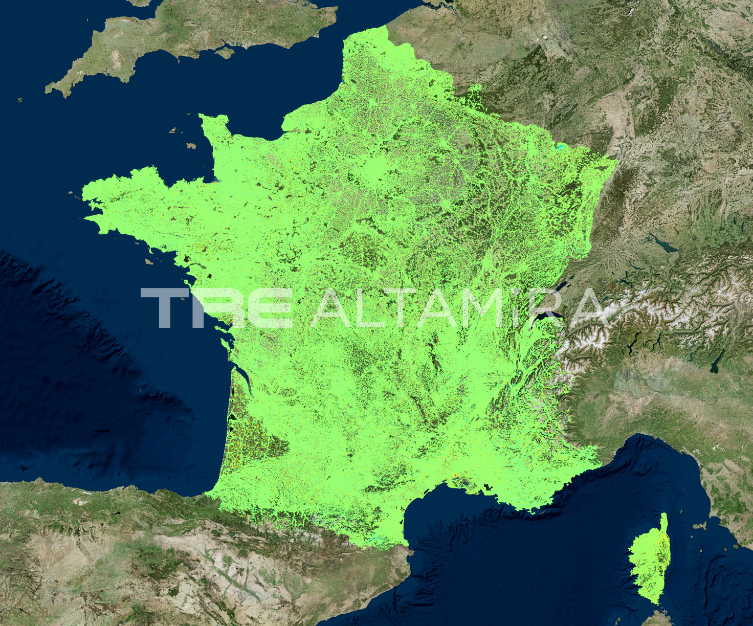
As part of a project for CNES (Centre National d'Études Spatiales), we have processed the entire archive of Sentinel-1 images over France métropolitaine from 18/11/2014 to 27/10/2017.
This slideshow requires JavaScript.
Emergency preparedness
We offer different approaches to detect and monitor complex motion patterns related to a single, at-risk area.
With our multi-temporal satellite studies, it is possible to detect and monitor a single, at-risk area, ranging in size from millimetres to metres, without the installation of any in-situ equipment.
- Assess the temporal evolution of a geological criticality
- Measure ground deformation resulting from a critical event
- Assess residual risk after a critical event